
A larger, high definition version of this map can be downloaded here.


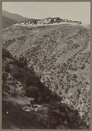
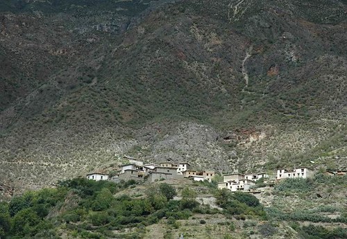
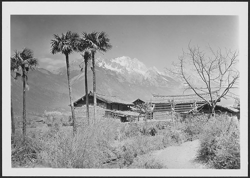
A few pics from my first visit to China in October 1990 [not 1991 as it says on the rest of the pics). We climbed the ridge above Dali at a time when it didn't have any chair lifts or marked paths. We cheated by taking a tuolaji tractor about half way up.
At that tuime Dali was just taking of as a backpacker destination - it had Jim's cafe and one other cafe if I remember rightly. And that was it.
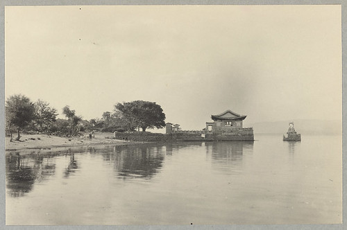
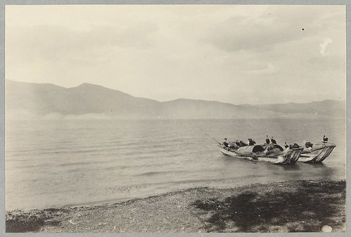
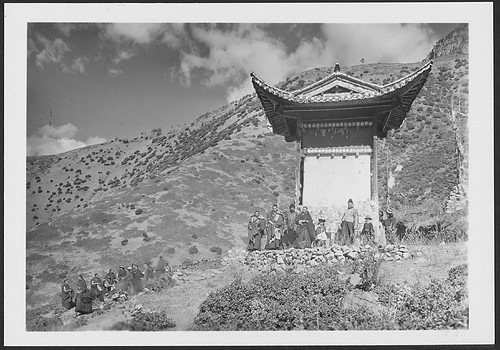
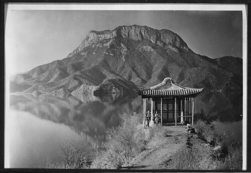
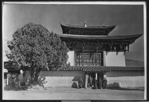
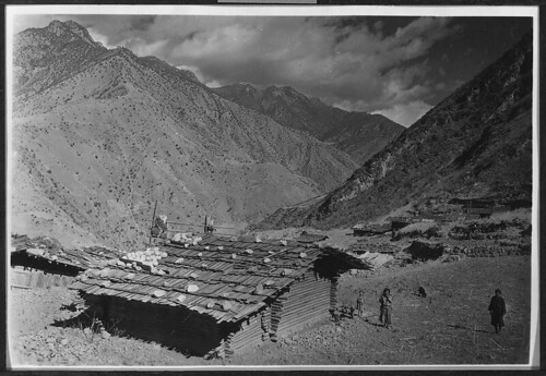
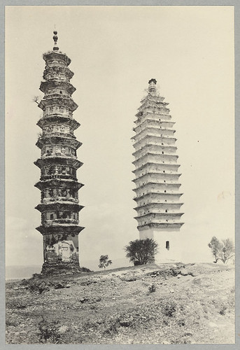
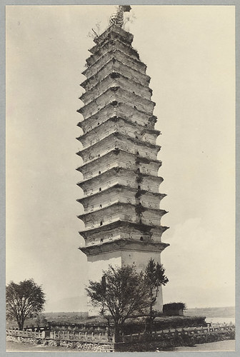
Joseph Rock spent some time in Daili in the early 1920s as evidenced by the pictures that I will publish here over the next few days.
Here's a couople of now and then pictures:
My pictures were taken in 1990.
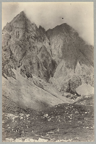
Not my pic - found on Chinese hiker's bulletin board [details in Chinese]..
An experienced hiker, Andrew "Clem" Lindenmayer, has been missing since 2 May after setting off to hike around Gongga Shan from Kangding. Clem is a well known Lonely Planet hiking guide author, and according to reports in the Chinese press, he has not been heard of since sending emails expressing his intention to hike around the mountain on 2 May.
If you have any information contact the local PSB or
zhangchi1@vip.sohu.net
855 12 900 910 or 1343 899 4929
Or the Sichuan Mountaineering Association: 028-8558 8047 13981873321
And more bad news from the area, with reports of 12 people killed and 3000 homeless after floods and mudslides caused by torrential rain in Jiulong county last week.
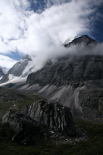
The rainy season means it is not a good time to be travelling in the footsteps of Joseph Rock, whether it be Kangding, Jiulong or Muli.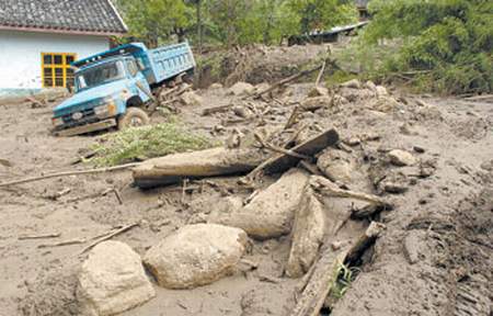
Jiulong mudslides: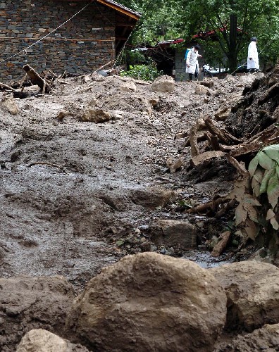


